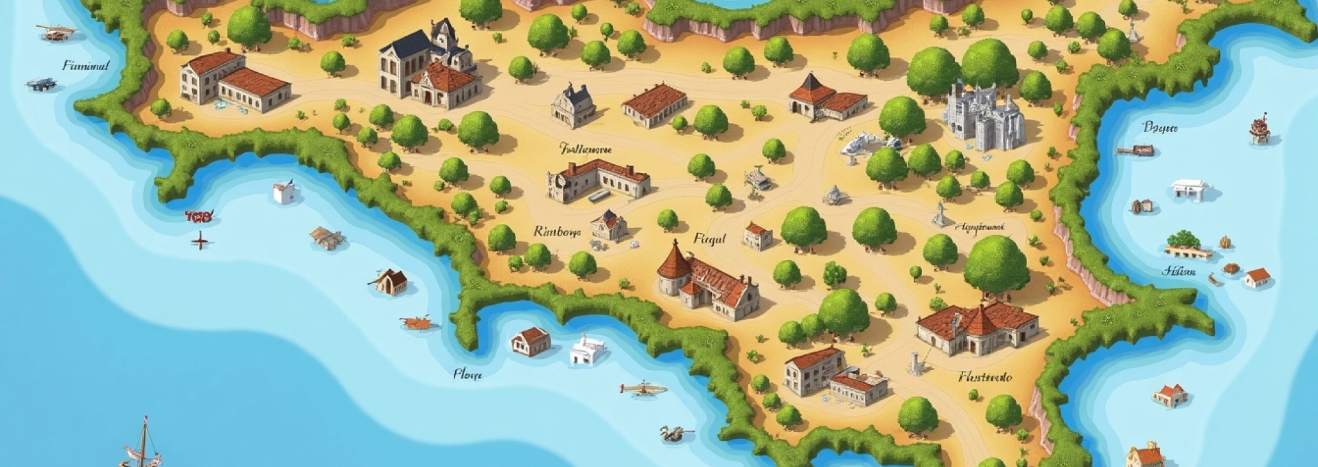
Cartographic representations of Italy have long captivated geographers, historians, and travelers alike. The distinctive «boot» shape of the Italian peninsula, coupled with its largest islands, Sicily and Sardinia, creates a unique and instantly recognizable silhouette on world maps. This iconic outline not only serves as a geographical identifier but also encapsulates the rich tapestry of Italian culture, history, and diverse landscapes.
Sardinia, the second-largest island in the Mediterranean Sea, plays a crucial role in Italy’s cartographic identity. Its inclusion in maps of Italy provides a comprehensive view of the country’s territorial expanse and highlights the strategic importance of its insular regions. The island’s position, approximately 200 kilometers west of the Italian mainland, presents intriguing challenges and opportunities for cartographers seeking to accurately depict Italy’s full geographical scope.
Geographical analysis of italy’s cartographic representation
When examining maps of Italy that include Sardinia, several key geographical features become apparent. The Italian mainland, stretching from the Alps in the north to the tip of Calabria in the south, forms the central focus. This elongated peninsula, surrounded by the Adriatic, Ionian, and Tyrrhenian Seas, creates a natural division between the eastern and western Mediterranean basins.
Sardinia’s presence on these maps adds a significant western component to Italy’s territorial waters. The island’s positioning relative to the mainland illustrates the vast expanse of the Tyrrhenian Sea and underscores Italy’s maritime importance. Cartographers often face the challenge of accurately representing the scale and distance between Sardinia and the peninsula while maintaining the map’s overall proportions and legibility.
Modern digital mapping techniques have greatly enhanced the precision with which Italy and Sardinia are depicted. Geographic Information Systems (GIS) allow for layered representations that can include topographical data, political boundaries, and even cultural information. This multidimensional approach provides a more comprehensive understanding of the spatial relationships within the Italian territory.
Sardinia’s topographical features and coastal morphology
Sardinia’s topography is a defining characteristic that sets it apart on maps of Italy. The island’s varied landscape includes rugged mountains, rolling hills, and expansive plains, all of which contribute to its unique cartographic profile. Accurate representation of these features is crucial for understanding Sardinia’s geography and its relationship to the Italian mainland.
Gennargentu mountain range: sardinia’s highest peaks
The Gennargentu mountain range dominates the central-eastern part of Sardinia. Maps often depict this area using contour lines or shaded relief to illustrate the dramatic elevation changes. The highest peak, Punta La Marmora, reaches an altitude of 1,834 meters (6,017 feet) above sea level, making it a significant landmark on any detailed map of the island.
Cartographers must carefully balance the representation of these mountains to ensure they are visible on smaller-scale maps of Italy while not overpowering other important features. The Gennargentu’s presence on maps also helps to explain Sardinia’s climate variations and its impact on local ecosystems and agricultural practices.
Costa smeralda: emerald coast’s granite formations
The Costa Smeralda, or Emerald Coast, is a renowned stretch of Sardinia’s northeastern shoreline. Its distinctive granite formations and turquoise waters make it a cartographic challenge to represent accurately. Detailed maps of this area often use specialized symbols or color gradients to indicate the unique coastal morphology and the presence of numerous small islands and inlets.
The intricate coastline of the Costa Smeralda requires high-resolution mapping techniques to capture its complexity. Modern satellite imagery and aerial photography have greatly improved the accuracy of these coastal representations, allowing for more precise navigation and land-use planning.
Campidano plain: sardinia’s agricultural heartland
Contrasting with the mountainous regions, the Campidano Plain stretches across the southwestern part of Sardinia. This vast, fertile area is crucial to the island’s agriculture and is typically depicted on maps as a relatively flat expanse. Cartographers often use subtle shading or specific land-use symbols to differentiate this region from the surrounding hilly terrain.
The representation of the Campidano Plain on maps of Italy serves to highlight Sardinia’s diverse landscape and its economic importance. It also provides context for understanding settlement patterns and transportation networks across the island.
Gorropu gorge: europe’s deepest canyon system
The Gorropu Gorge, often referred to as Europe’s Grand Canyon, presents a unique cartographic challenge. Its extreme depth and narrow width make it difficult to represent accurately on smaller-scale maps. Cartographers may use exaggerated relief or specialized symbols to indicate the presence of this remarkable geological feature.
On more detailed topographic maps, the Gorropu Gorge is typically shown with closely spaced contour lines, indicating the steep walls and dramatic elevation changes. This level of detail is crucial for hikers and geologists studying the area, and it underscores the importance of scale in cartographic representation.
Cartographic techniques for depicting italy and sardinia
The art and science of mapping Italy, including Sardinia, have evolved significantly over time. Modern cartographers employ a range of sophisticated techniques to create accurate and informative maps that serve various purposes, from navigation to spatial analysis.
UTM zone 32N: projecting sardinia in geographic information systems
When creating digital maps of Italy and Sardinia, cartographers often use the Universal Transverse Mercator (UTM) projection system. Sardinia falls within UTM Zone 32N, which provides a standardized grid for precise location referencing. This system allows for accurate distance and area calculations, essential for both scientific research and practical applications like urban planning.
The use of UTM Zone 32N ensures that maps of Sardinia can be easily integrated with other geospatial data and mapping systems across Europe. It also facilitates the creation of detailed thematic maps that can overlay various data sets, such as population density or land use, onto the base topography.
Bathymetric mapping of tyrrhenian sea between mainland and sardinia
To fully represent the relationship between Sardinia and mainland Italy, cartographers must also consider the underwater topography. Bathymetric mapping of the Tyrrhenian Sea provides crucial information about the seafloor between the island and the peninsula. This data is often represented using a color gradient or contour lines to indicate depth, with darker blues typically representing deeper waters.
Advanced sonar technology and satellite altimetry have greatly improved the accuracy of bathymetric maps. These detailed representations of the sea bottom are essential for understanding marine ecosystems, planning underwater infrastructure, and studying geological processes that shape the Mediterranean basin.
Digital elevation models: rendering sardinia’s nuraghe landscapes
Digital Elevation Models (DEMs) have revolutionized the way cartographers represent Sardinia’s unique landscapes, particularly the ancient nuraghe structures scattered across the island. These prehistoric tower-fortresses are significant archaeological features that often appear on detailed maps of Sardinia.
DEMs allow for three-dimensional visualization of the terrain, enabling cartographers to create highly accurate representations of the nuraghe in relation to the surrounding topography. This technology not only enhances the visual appeal of maps but also provides valuable data for archaeologists and historians studying these ancient structures.
Historical cartography of italy including sardinia
The cartographic history of Italy and Sardinia spans millennia, reflecting the evolving understanding of geography and the development of mapping techniques. Early maps, such as those created by Ptolemy in the 2nd century AD, often depicted Sardinia with less accuracy but recognized its strategic importance in the Mediterranean.
During the Renaissance, Italian cartographers like Giacomo Gastaldi produced more detailed and accurate maps of the region. These maps not only improved geographical representations but also often included artistic elements, such as sea monsters or elaborate compass roses, reflecting the cultural and artistic values of the time.
The advent of scientific cartography in the 18th and 19th centuries led to increasingly precise maps of Italy and Sardinia. Trigonometric surveys and improved measurement techniques allowed for more accurate depictions of coastlines, mountain ranges, and the spatial relationships between the mainland and its islands.
Political and administrative boundaries: italy’s regions and sardinia’s provinces
Modern maps of Italy typically include political and administrative boundaries, highlighting the country’s regional structure. Sardinia, as one of Italy’s five autonomous regions, is often depicted with a distinct border, emphasizing its special status within the Italian Republic.
Cagliari: capital city and metropolitan area delineation
Cagliari, Sardinia’s capital and largest city, is a focal point on many maps of the island. Cartographers often use specialized symbols or shading to indicate the extent of the Cagliari metropolitan area. This visual representation helps to illustrate the city’s importance as a regional center and its relationship to surrounding municipalities.
Detailed maps of Cagliari may include additional layers showing urban infrastructure, historical sites, or demographic data. These multifaceted representations are valuable for urban planners, policymakers, and researchers studying the dynamics of Sardinia’s primary urban center.
Sassari province: northern sardinia’s administrative division
The province of Sassari, covering much of northern Sardinia, is another significant administrative unit often highlighted on maps. Its boundaries encompass diverse landscapes, from the Costa Smeralda to the rugged interior, presenting cartographers with the challenge of representing this variety within a single administrative context.
Maps detailing Sassari province may include information on transportation networks, population centers, and natural resources. This level of detail is crucial for regional planning and development initiatives, as well as for tourists seeking to explore northern Sardinia’s attractions.
Autonomous region status: sardinia’s special statute in italian governance
Sardinia’s status as an autonomous region is often reflected in political maps of Italy through distinct coloration or labeling. This cartographic distinction serves to educate viewers about Italy’s complex administrative structure and the unique position of certain regions within the national framework.
Maps focusing on Italy’s governance may use additional symbols or annotations to indicate the special powers granted to Sardinia under its autonomous statute. This information is valuable for understanding the distribution of political authority and the nuances of Italian regional administration.
Transportation networks linking mainland italy and sardinia
Cartographic representations of Italy and Sardinia often include crucial transportation links between the island and the mainland. Ferry routes connecting major ports like Civitavecchia or Genoa to Sardinian cities such as Olbia, Porto Torres, or Cagliari are typically depicted using dashed lines or specialized maritime symbols.
Air travel connections are another important aspect of these maps, with major airports in Cagliari, Olbia, and Alghero often highlighted. These transportation networks not only illustrate the physical connections between Sardinia and mainland Italy but also underscore the island’s accessibility and its integration into the broader Italian and European transportation systems.
Additionally, maps may show internal transportation networks within Sardinia, including major highways, railways, and secondary roads. This information is crucial for understanding the island’s infrastructure development and its impact on tourism, commerce, and regional connectivity.
In conclusion, maps of Italy that include Sardinia offer a comprehensive view of the country’s geographical diversity and territorial expanse. From the rugged landscapes of the Gennargentu to the bustling port of Cagliari, these cartographic representations serve as valuable tools for understanding the complex relationships between Italy’s mainland and its second-largest island. As mapping technologies continue to advance, our ability to visualize and analyze these spatial relationships will only grow, providing ever more detailed and insightful depictions of Italy’s rich and varied geography.